 , approx. 20 km (as the crow flies) from Vielha
  , the capital of county (comarca) Val d'Aran. In the village Boí
  there is the western entrance to the park, in the village Espot
  - the eastern entrance (➤ map)(➤ map).
Parc Nacional d'Aigüestortes i Estany de Sant Maurici (Spanish: Parque nacional de Aiguas Tortas y Lago de San Mauricio) was founded in 1955 as the fifth national park in Spain, the second in the Pyrenees (after the parks of Ordesa and Mont Perdut), the only in Catalonia. The name "Aigüestortes" refers to the meanders of the Riu de Sant Nicolau
 , the main river in the western part of the park, flowing from the pond known as Estany Long
  and flowing into the Noguera de Tor
  , tributary of the Noguera Ribagorça
  ; the name "Sant Maurici" refers to the name of the most popular place in the eastern part of the park, St. Maurice Pond (Estany de Sant Maurici
  ) where the river Riu Escrita
  begins, flowing further into the Noguera Pallares River
  . Both parts of the park lie on the south side of the main ridge of the Pyrenees, but, separated by a ridge connecting the peaks of Pic del Portarró
  (2734 m) and Agulla del Portarró
  (2675 m), differ both in terms of landscape and climate (the western, flatter part is more influenced by the Atlantic climate, eastern part - by the continental climate). The valley of the Sant Nicolau River, Vall de Sant Nicolau, which belongs geographically to the Vall de Boí region, also from an administrative point of view almost entirely (91%) belongs to the municipality of Vall de Boí in the district of Alta Ribagorça. The eastern part, i.e. the Escrita River Valley, geographically part of the Vall d'Aneu Valley, belongs to the municipality of Espot in the Pallars Sobirà County. Both valleys are connected by a Portarró d'Espot pass
  (2427 m), also called Portarró for short; one of the most popular hiking trails in the park passes through it. on the west side and in Espot on the east side.
There are four peaks in the park, which are over 3000 meters above sea level. and several dozen, the height of which exceeds 2500 m. The highest peak in the park is Pic de Comaloforno
 (3029 m), but the most famous are the twin peaks Gran Encantat
  (2748 m) and Petit Encantat (2734 m), located southeast of St. Maurice Pond (the view from the side of the pond towards Els Encantat is probably the most popular park motif presented on postcards, in tourist brochures, etc.). In the inner zone of the park there are about 80 ponds, of which, apart from the already mentioned (Estany Llong and Estany Sant Maurici), the most famous are, among other, Estany de Llebreta
  , Estany Gran d'Amitges
  , as well as the very deep Estany Negre de Peguera
  , located east of one of the park's most famous peaks, Pic de Peguera
  (2980 m), at an altitude of 2330 m above sea level.
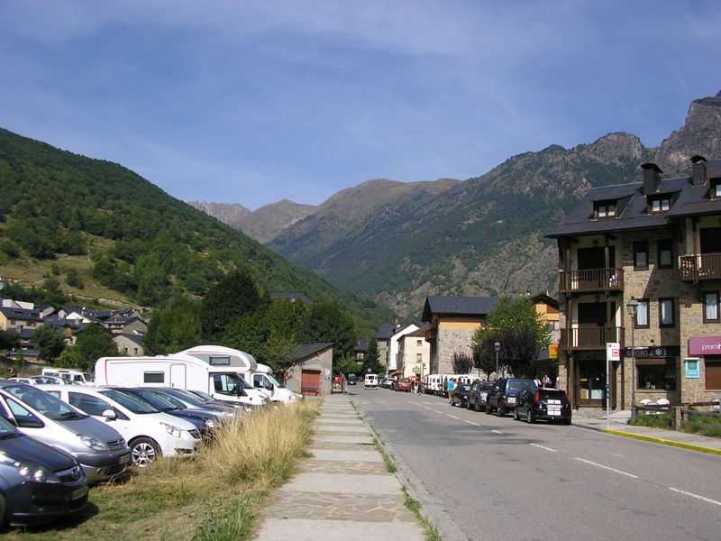
 Admission to the park is free. The car must be parked in one of the car parks near the west or the east entrance to the park. In summer, the park's main attraction is the wide range of hiking opportunities, ranging from easy walks, through longer and more physically demanding trips or more serious mountain excursions, to climbing. An example of an easy and not too long trip in the western part of the park is a walk from Estany Llebreta along the Sant Nicolau River to Estany Llong, and in the eastern part - a trip from Estany Sant Maurici to Estany Gran d'Amitges or to Estany Negre de Peguera. Some roads are accessible by mountain bikes. In winter, cross-country skiing is possible.