 , close to important Dolomite road passes Passo Pordoi (2239 m)
  and Passo Campologno (1875 m)
  (➤ map)(➤ map). A popular tourist destination and ski station, with an extensive accommodation and catering base. One of the most important Dolomite roads - SR48 (Grande Strada delle Dolomiti / Große Dolomitenstraße), connecting Auronzo di Cadore
  and Cortina d'Ampezzo with Ora / Auer
  , runs through Arabba (after crossing the border of the Veneto and Trentino-Alto Adige regions, the road changes its name on SS48). From the north, another important Dolomite road, SP244, running from Brunico / Bruneck
  , reaches Arabba through the Passo Campolongo (➤ map)(➤ map).
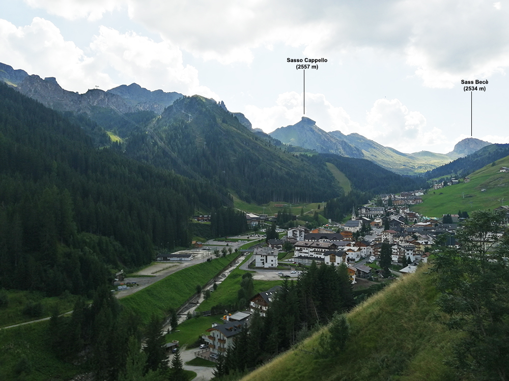
ARABBA
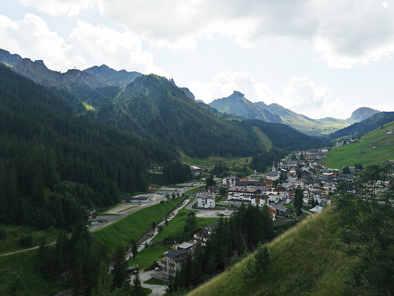
view from the SP244 road from the Passo Campolongo road pass (1875 m)photo: PL
Arabba is one of the most famous tourist destinations in the region. It is located in the upper part of the Val Cordevole valley, at an altitude of 1601 m above sea level, near the Marmolada
 (3343 m above sea level), the highest peak of the Dolomites (south of Arabba) and the Sella group, with the highest peak Piz Boè (3152 m)
  (➤ map)(➤ map).
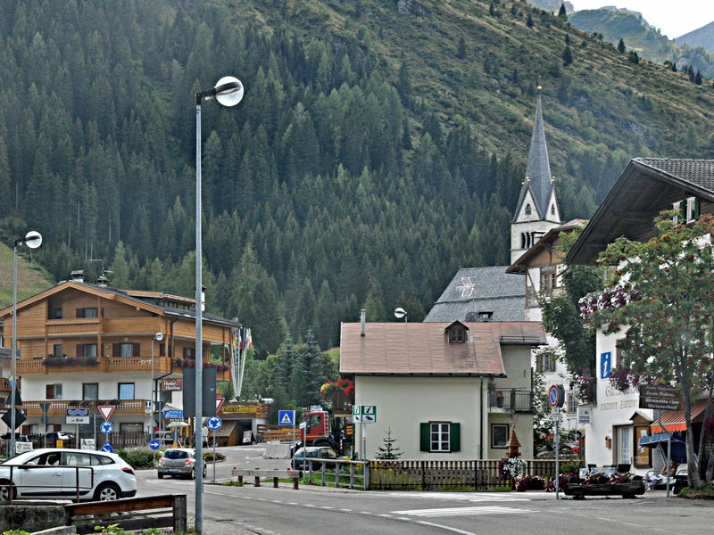
ARABBA
photo: ALIn winter, Arabba is a popular ski resort, allowing the use of the famous circular ski route known as the Sella Ronda (a route leading through four important Dolomite passes: Passo Pordoi, Passo Campolongo, Passo Gardena and Passo Sella), but also connected by lifts to the ski areas in the Marmolada's area. Ski slopes and lifts in the Arabba area: ➤ map(➤ map).
Additional information
- Arabba / Rèba belongs to the municipality of Livinallongo del Col di Lana (German name: Buchenstein, Ladin: Fodóm), the vast majority of which (approx. 90%) declare that their native language is Ladin. About Ladinia, see Cortina d'Ampezzo: "Ladinia".
- Cycling lovers may be interested in the information that Arabba was twice the place where the finish line of the famous Giro d'Italia race was located - in 1983 and in 1984.