 , the capital of Norway, 175 km northeast of Bergen
  , one of two administrative centers Westland County (➤ map)(➤ map).
AURLANDSVANGEN
view from the cruise shipphoto: JD
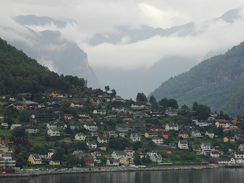
 , where the Aurlandsfjorden flows into the Aurlandselvi, less than 10 km northeast of Flåm
  , a town located at the southern end of the Aurlandsfjorden. The European road E16 runs close to the village. The most important monument of Aurlandsvangen is the stone Gothic parish church with a history dating back to the beginning of the 13th century (the date of May 2, 1202 is written on the cornerstone).
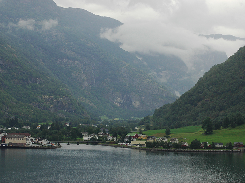
AURLANDSVANGEN
view from the cruise shipphoto: JD
AURLANDSVANGEN
view from the cruise shipphoto: JD