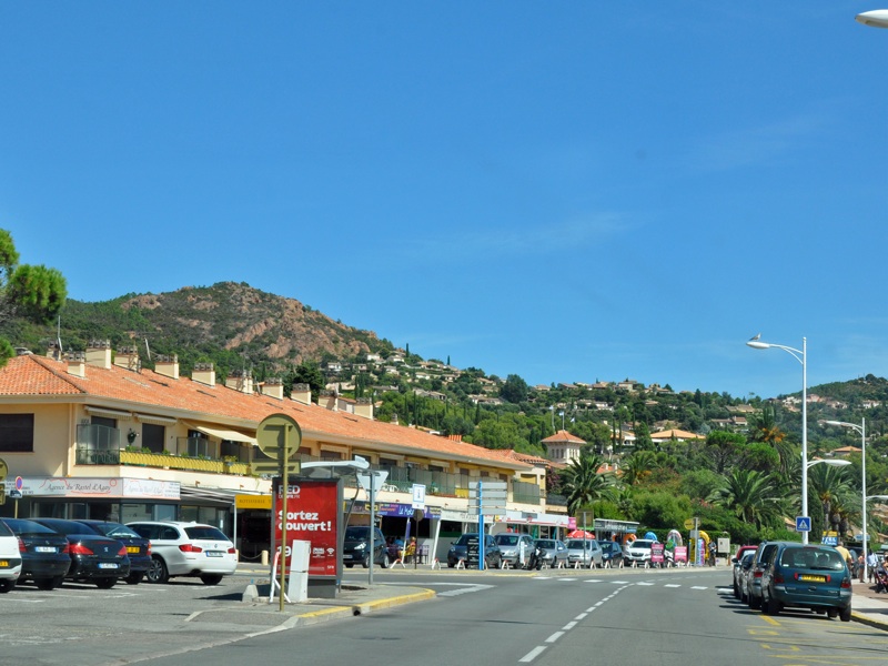
Town in the south of France, in the Provence-Alpes-Côte d'Azur region, in the Var department, in the municipality of Saint-Raphaël, approx. 11 km east of the agglomeration Fréjus / Saint-Raphaël  , approx. 30 km south-west of Cannes
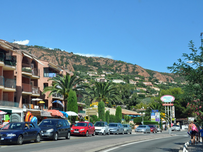
  (➤ map)(➤ map). Picturesquely situated, popular seaside resort with beautiful sandy beaches. Access via D559, known from the section between Saint-Raphaël and Mandelieu-la-Napoule as Corniche d'Or or Corniche de l'Esterel and considered to be one of the most beautiful car routes in Europe.
AGAY
entry from the south, around the mouth of the Agay River
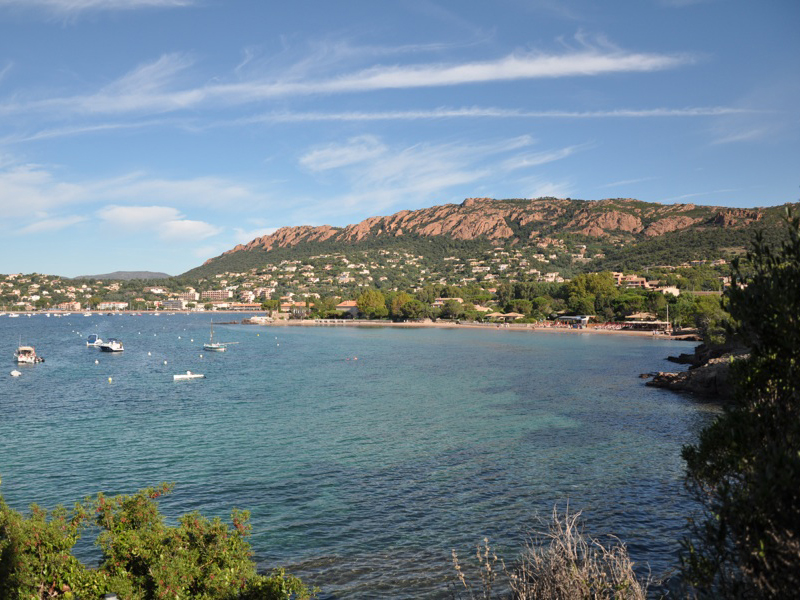
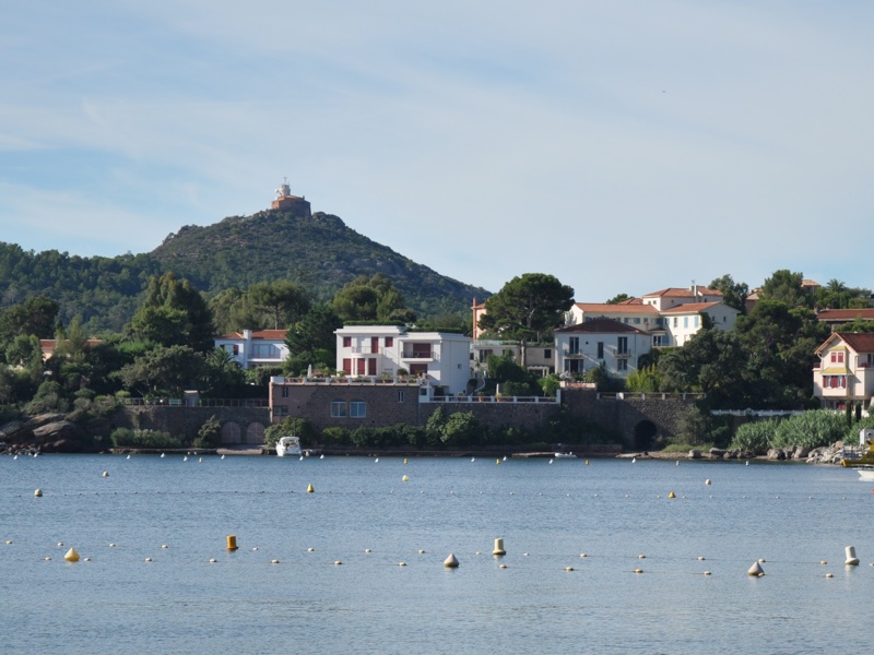
Rastel d'Agay in the background
photo: AL
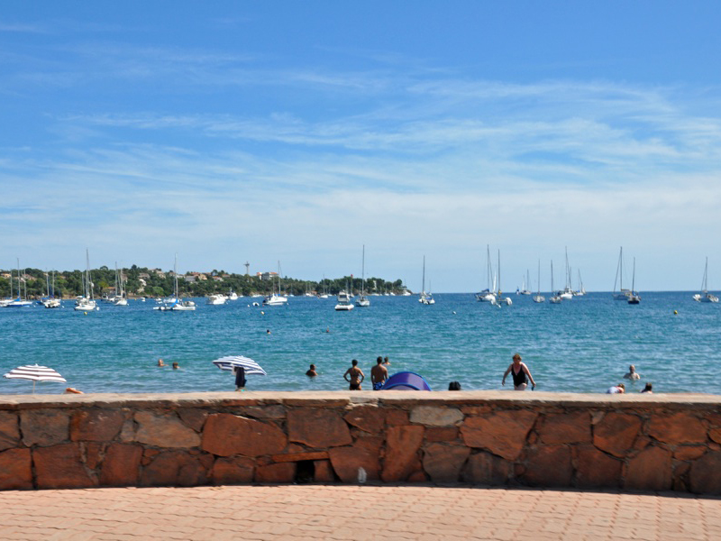
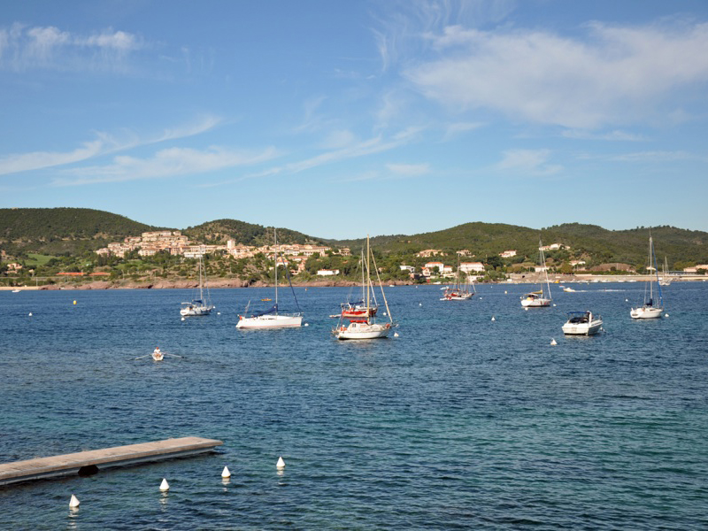
Agay - a place known as a tourist destination from the beginning of the 20th century and in the first half of the 20th century, popular among French artists and writers (Agay was visited by, among others, fauvist Louis Valtat, composer and music theorist Vincent d'Indy, as well as Guy de Maupassant and Antoine de Saint-Exupéry) - lies on the bay called Rade d'Agay

, at the foot of a high 287 m above sea level Rastel d'Agay hills

(belonging to
the Esterel Massif, a low mountain range of volcanic origin with characteristic red rocks, stretching from Fréjus and Saint-Raphaël to Cannnes), between the villages of
Le Dramont 
and
Anthéor 
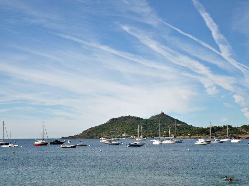
. The bay, already known in ancient times as a safe haven for ships, stretches from Cap du Dramont

to the Pointe de la Baumette headland

where the lighthouse called "phare d'Agay" or "phare de la Baumette" is located.
Ze szczytu Rastel d'Agay
(➤ map)(➤ map) there is a vast view over the countryside from Cannes to
Saint-Tropez. The marker

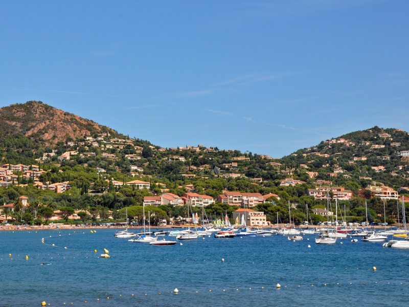
marks the yacht harbor located near the mouth of the Agay River to the bay (marker

). Markers

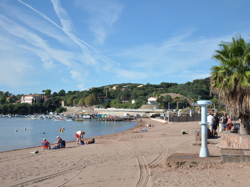
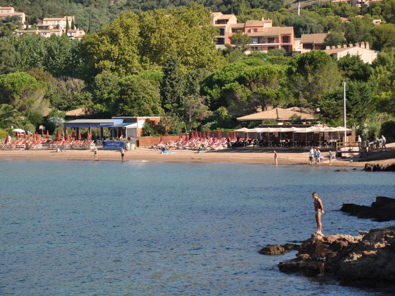
and

represent the two main beaches of Agay (Plage d 'Agay and Plage de la Baumette), aand marker

- a small Pourrousset beach, located just off the D559 road, near the famous Cap Esterel resort

, between Agay and Le Dramont.
