A small town in the south of France, in the region of Provence-Alpes-Côte d'Azur, in the Var department, located in the commune of Saint-Raphaël, approx. 15 km east of the agglomeration Fréjus-Saint-Raphael  , about 26 km southwest of Cannes
  (➤
map)(➤ map).
(➤
map)(➤ map).
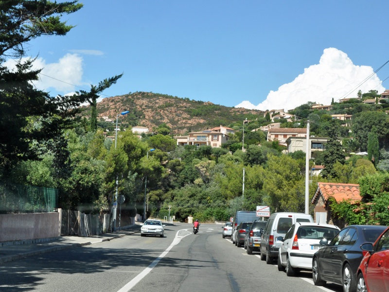
ANTHÉOR
road D559 (Boulevard Eugène Brieux)
photo: PL
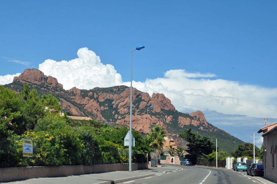
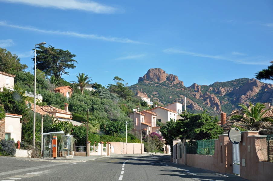
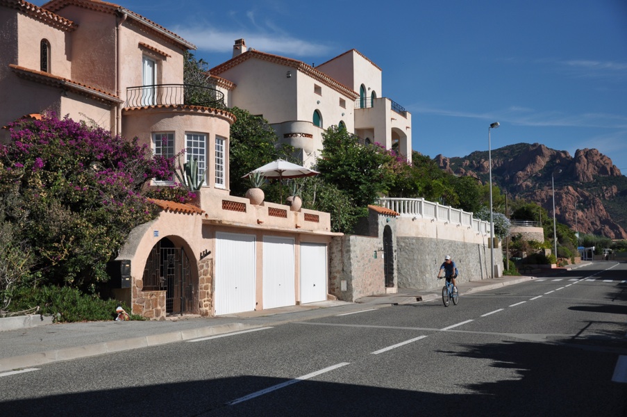
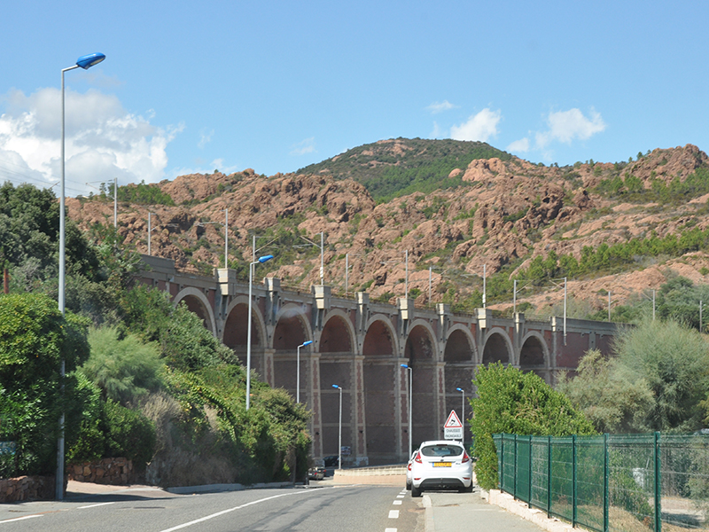
Anthéor - is a small settlement at the foot of the Esterel Mountains, between
Agay 
and
Le Trayas  (➤
map)(➤ map)
(➤
map)(➤ map), mostly built up with private houses and boarding houses; there are also several campsites here. The only sandy beach is

located right next to the railway viaduct (Viaduc Anthéor

), over a cove known as Calanque Anthéor

. The beach is only 80 m long and is usually very crowded during the season; there is a small car park right next to the beach, and one of the aforementioned campsites near the viaduct. The marker

stands for a small car park on Pointe du Petit Caneiret, above the cove of the same name (Calanque du Petit Caneiret

).
Additional information
- The Anthéor Viaduct, which runs right on the coastline of the Calanque Anthéor, is one of the highlights of the Saint-Raphaël coastal railway from Cannes. During the Second World War, in 1943 and 1944, it was bombed several times by the Allied air force (in preparation for the Allied landing in southern France), but without success.
ANTHÉOR
road D559 (Boulevard Eugène Brieux)
fragment of the railway viaduct
photo: AL